Year: 2018
Design / Surveying
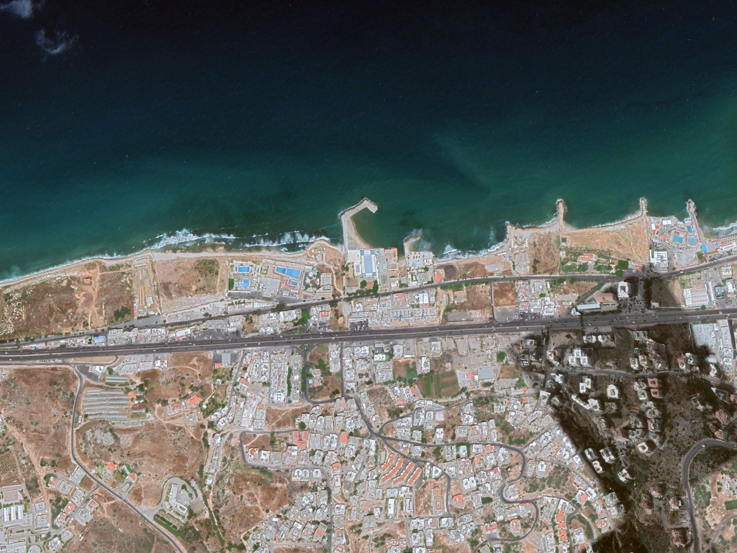
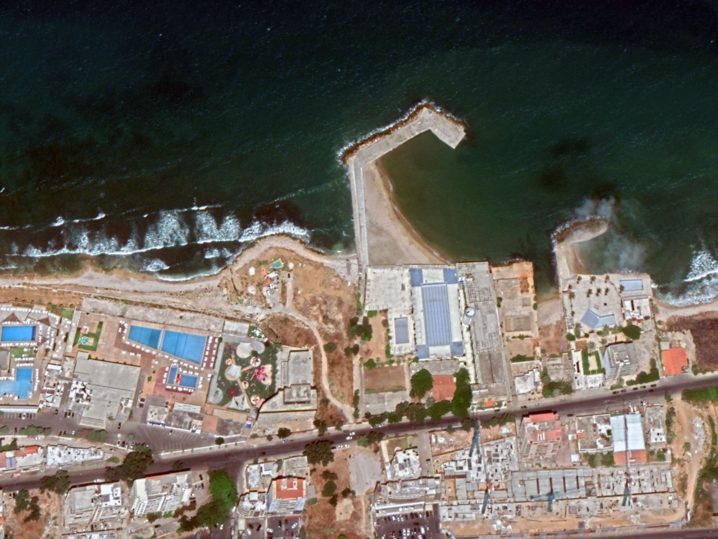
Al-Ghadir Fishing Port
- Master Plan
- Berthing capacity (350 boats)
- Main breakwater (Rubble mound type, L=326m @max -5.50m MSL, core material, rocky filter and precast concrete Accropodes blocks Type II)
- Secondary breakwater (Rubble mound type, L=119m @max -5.00m MSL, core material, rocky filter and rocky armor layer)
- RC seawall (Underwater foundation, L=150m @max -2.00m MSL)
- Quaywalls (L=655m @-3.00m MSL) / Precast concrete blocks (Gravity QW)
- Finger piers (L=150m @-3.00m MSL) / Precast concrete blocks
- RC retaining walls
- Asphalted and RC platforms (15,950m2)
- Dredging works of inner basin (5400m2) up to -3.00m MSL
- Drying, maintenance and storage area, slipway (Boat ramp)
- Car parking
- Marine accessories (Mooring bollards)
- Infrastructure (Electrical supply, pipes, manholes, lighting)
- Infrastructure (Water supply, Pumps, pipes, manholes, tanks)
- Waste water treatment plant
- DGLMT, army check point and Fishermen rooms (427m2) / Nbr=18,
- Fishmarket (207m2)
- Syndicate building (234m2)
- Landscape
- Reclaimed area (29,820m2)
- Water body basin (18,445m2)
- Topographic survey (192,560m2)
- Bathymetric survey (7,500m2)
- Tender Documents / Drawings / BoQ


 CLIENT